Day 4, Archaeology of the Queen’s Park Conservatory
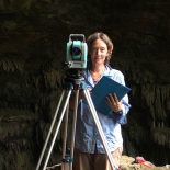
Mapping and section drawing were the order of the day, and these practical skills were taken up with ease by our students. Tying the site into other, relatively permanent landscape features enables us, or any future archaeologists to come back and relocate the site to do further work if needed; or to revisit the conservatory, if technology becomes so amazing that questions otherwise unanswerable, become answerable. Site protection is another important reason to map, and so all the features of the conservatory were documented as part of the map-making process.
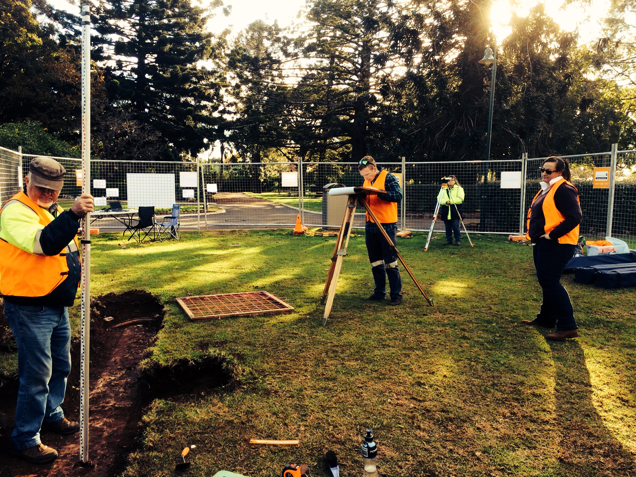
Thank you Wendy, Peter, Drew, Alyssa and William for another great day!
